Show the map
OFFICIAL ROUTE
Circuit de St Gilles du Mené


5.5 km
140 m
140 m
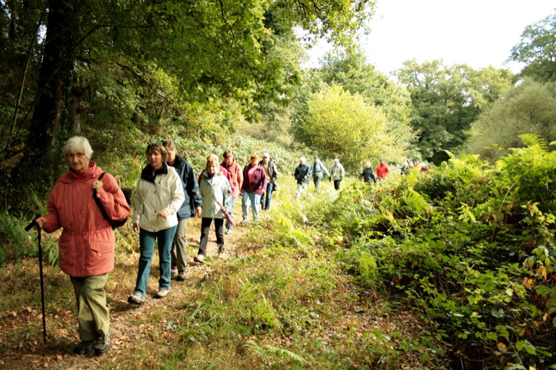
 Saint-Gilles-du-Mené (22)
From the Guilliet pond, following the small Fromené stream then taking small roads and sunken lanes, walkers are invited to discover the Mené, this hilly territory punctuated by hamlets with local granite houses.
Points of Interest table
| Accum. | Intermediary | |||||||
|---|---|---|---|---|---|---|---|---|
| POI | Description | Alt. | Dist. | D+ | D- | Dist. | D+ | D- |
Trace n°114344
Ascent threshold : 3 m Distance threshold : 30 m Smoothing : Yes Origin of altitudes : MNT IGN
Ascent threshold : 3 m Distance threshold : 30 m Smoothing : Yes Origin of altitudes : MNT IGN
Loop
Dominant terrain : Footpath
Max alti. : 250 m
Avg alti. : 210 m
Min alti. : 177 m
Longest ascent : 110 m
Longest descent : 90 m
Route completed by the author : Yes
Dominant terrain : Footpath
Max alti. : 250 m
Avg alti. : 210 m
Min alti. : 177 m
Longest ascent : 110 m
Longest descent : 90 m
Route completed by the author : Yes
Elevation profile
More tools
Create a new roadbook page
Map and track on your website
Warning ! When you insert a Trace de Trail map on your website, you agree not to hide any element of the module (links to Trail Trail or Trail Connect banner)
Add a realisation
Validate
Add a realisation to share your chrono and describe the conditions that you encountered during you trail running !
Add a comment
Validate
Show the infos
Add a track